 INSTITUTE FOR NATURAL RESOURCES
Oregon Explorer Top Menu
You are here
Geology
Geology
Landscapes and Ecosystems
LOADING...

Please be patient.
-
GUIDE TO THE GEOLOGY AND LORE OF THE WILD REACH OF THE ROGUE RIVER, OREGON
80 pages
-
A Brief History of Geology at Oregon State University, 1913-2014
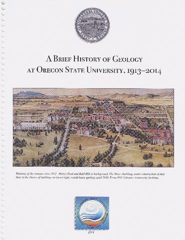
Authored by Anita Grunder and Jenda Johnson with assistance from Mike Dicianna, Henri Sanville and John Dilles, this text was compiled to mark the one-hundredth anniversary of the study of Geology at Oregon...
-
Geodesy- and Geology-Based Slip-Rate Models for the Western United States (Excluding California) National Seismic Hazard Maps
The 2014 National Seismic Hazard Maps for the conterminous United States incorporate additional uncertainty in fault slip-rate parameter that controls the earthquake-activity rates than was applied in previous...
-
History and Dynamics of Net Rotation of the Mantle and Lithosphere
The net rotation of Earth’s lithosphere with respect to the underlying mantle is the longestwavelength component of toroidal flow in the mantle and is sensitive to both mantle buoyancy structure and lateral...
-
Geologic map of the southern Oregon coast between Port Orford and Bandon, Curry and Coos counties, Oregon

The core product of this product is an Esri ArcGIS ArcMap 10.1 format geodatabase that combines new and existing mapping in a digital format consistent with the digital statewide Oregon Geologic Data...
-
Viscosity Jump in Earth’s Mid-Mantle
The viscosity of Earth's deep interior plays a key role in mediating plate tectonics. Rudolph et al. combined several geophysical data sets to model the viscosity of the mantle. Mantle viscosity abruptly...
-
The Scientific Discovery of Glaciers in the American West
The American West has been the proving ground for a number of earth sciences, including the study of glaciers. From their discovery by Western science in the late 1800s and continuing to the present day,...
-
Force Chains as the Link Between Particle and Bulk Friction Angles in Granular Material
From sediment transport in rivers to landslides, predictions of granular motion rely on a Mohr-Coulomb failure criterion parameterized by a friction angle. Measured friction angles are generally large for...
-
THE SCIURIDAE (RODENTIA: MAMMALIA) OF CAVE BASIN (OREGON), A NEW MIDDLE MIOCENE MICROFOSSIL LOCALITY
69 pages. A thesis presented to the Department of Geological Sciences and the Clark Honors College of the University of Oregon in partial fulfillment of the requirements for degree of Bachelor of Science,...
-
Oregon geologist examiner

This archived document is maintained by the Oregon State Library as part of the Oregon Documents Depository Program. It is for informational purposes and may not be suitable for legal purposes.
Pages


