 INSTITUTE FOR NATURAL RESOURCES
Oregon Explorer Top Menu
You are here
Hazards
Hazards
LOADING...

Please be patient.
-
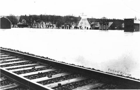
Flood at Turner, Oregon
-
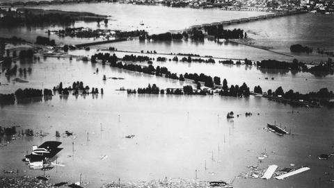
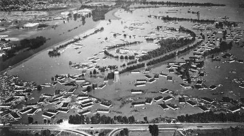
Aerial view of Vanport houses destroyed by flood
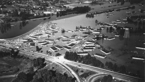
Vanport City was located between the Portland city boundary and the Columbia River. Vanport was destroyed on May 30, 1948 when a section of the dike collapsed during a flood on the Columbia River.
-
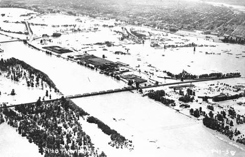
Vanport flood showing a view of the railroad bridge
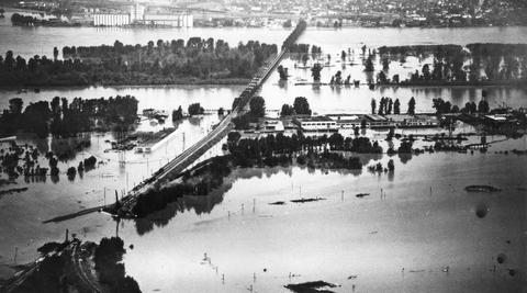
Vanport City was located between the Portland city boundary and the Columbia River. Vanport was destroyed on May 30, 1948 when a section of the dike collapsed during a flood on the Columbia River.
-
View of Jantzen Beach park during the Vanport flood
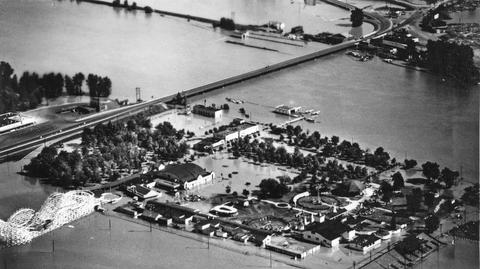
Vanport City was located between the Portland city boundary and the Columbia River. Vanport was destroyed on May 30, 1948 when a section of the dike collapsed during a flood on the Columbia River.
-
Aerial view of flood at Vanport City, Oregon
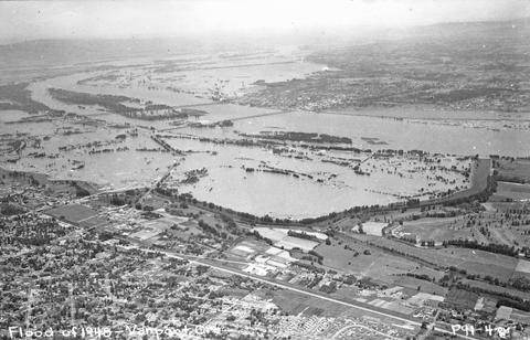
Vanport City was located between the Portland city boundary and the Columbia River. Vanport was destroyed on May 30, 1948 when a section of the dike collapsed during a flood on the Columbia River.
-
View of flooded portion of Vanport, Oregon
Vanport City was located between the Portland city boundary and the Columbia River. Vanport was destroyed on May 30, 1948 when a section of the dike collapsed during a flood on the Columbia River.
-
Flooded area of Portland with Mt. St. Helens? in the background
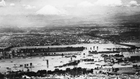
Vanport City was located between the Portland city boundary and the Columbia River. Vanport was destroyed on May 30, 1948 when a section of the dike collapsed during a flood on the Columbia River.
-
Aerial view of flood at Vanport showing highway
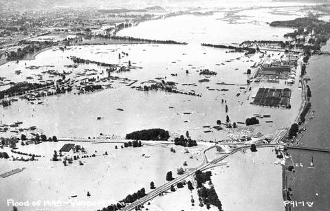
Vanport City was located between the Portland city boundary and the Columbia River. Vanport was destroyed on May 30, 1948 when a section of the dike collapsed during a flood on the Columbia River.
-
Aerial view of flood at Vanport, showing railroad bridge
Vanport City was located between the Portland city boundary and the Columbia River. Vanport was destroyed on May 30, 1948 when a section of the dike collapsed during a flood on the Columbia River.
-
Aerial view of flood at Vanport
Vanport City was located between the Portland city boundary and the Columbia River. Vanport was destroyed on May 30, 1948 when a section of the dike collapsed during a flood on the Columbia River.
Pages
Sponsored by


